SERVICES
Connected Vehicle Platform 3.0

It collects information on any breakdowns or accidents that take place on the road in which the vehicle or its load obstructs the road. It replaces the use of hazard warning triangles with the use of a connected light device called V-16.
INFORMATION: It alerts users travelling near the incident


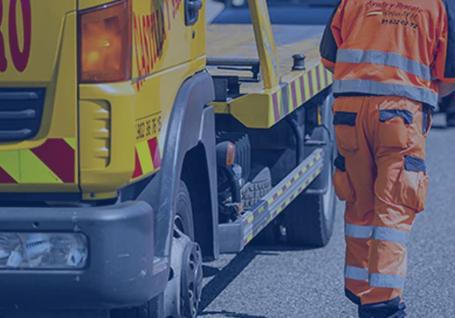
Geopositioning of the vehicles and conditions throughout the roadside assistance operation (operation or removal).
INFORMATION:Real-time geolocation and condition of the roadside assistance vehicle.
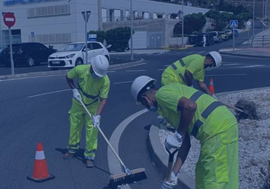
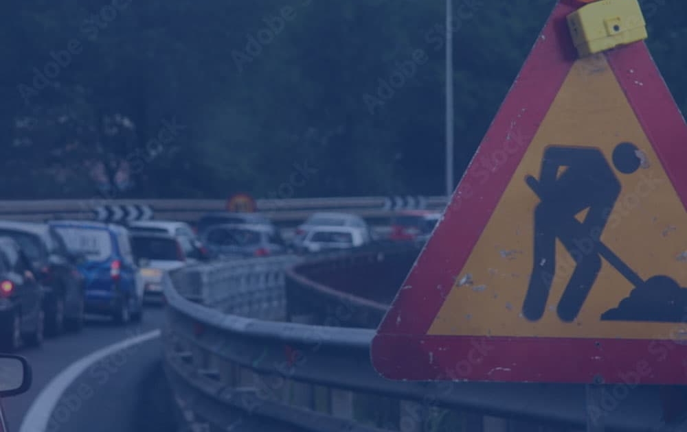
The maintenance work involves operations that require the road to be taken up by workers, such as changing signs, installing vehicle restraint barriers, variable message panels or speed control radars, setting out temporary diversions, etc. This service aims to provide people carrying out this type of work with additional protection.
INFORMATION: Real-time location information via connected cones or devices integrated into the equipment of workers (for example, safety vests) who may be carrying out any maintenance activities and roadworks

While observing Royal Decree 1052/2022, of 27 December, governing low emission zones.
INFORMATION: Restrictions: times, geometries and labels.
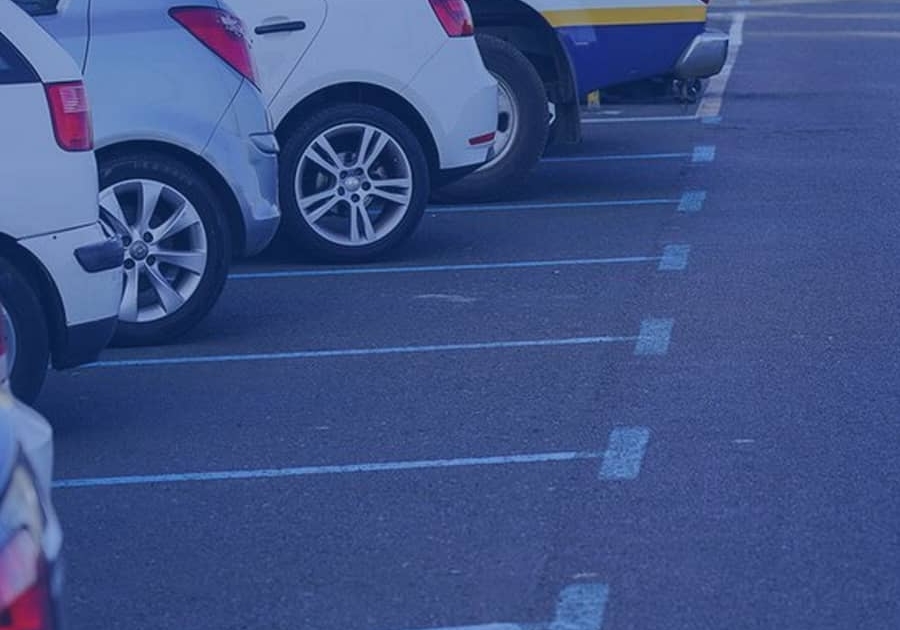
This service publishes real-time standardized information in one central place related to car parks.
INFORMATION: Location, full capacity and spaces available at that time.
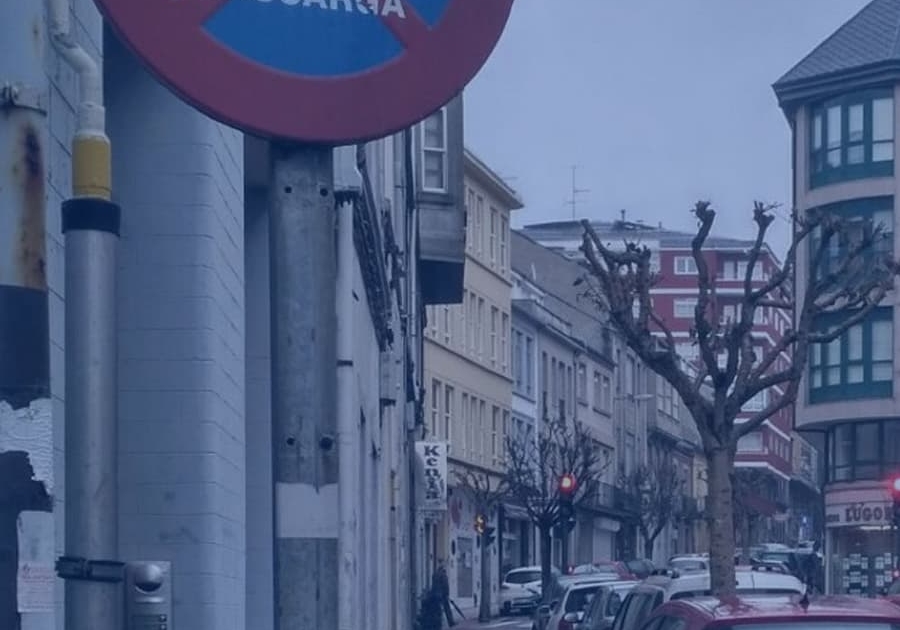
The city shares information on the loading and unloading areas, as well as the characteristics and times by which they are limited. This favours dynamic management of spaces. This service makes it possible to reduce “car park traffic” and optimise occupancy of urban areas.
INFORMATION: Location, times and characteristics of loading and unloading areas in towns.
It makes information available in one central place on how roadworks affect the road and those which have been registered by the DGT via the TRAZA and RENO systems.
INFORMATION: Information is provided on the section of the road that is affected by the execution of work at all times.

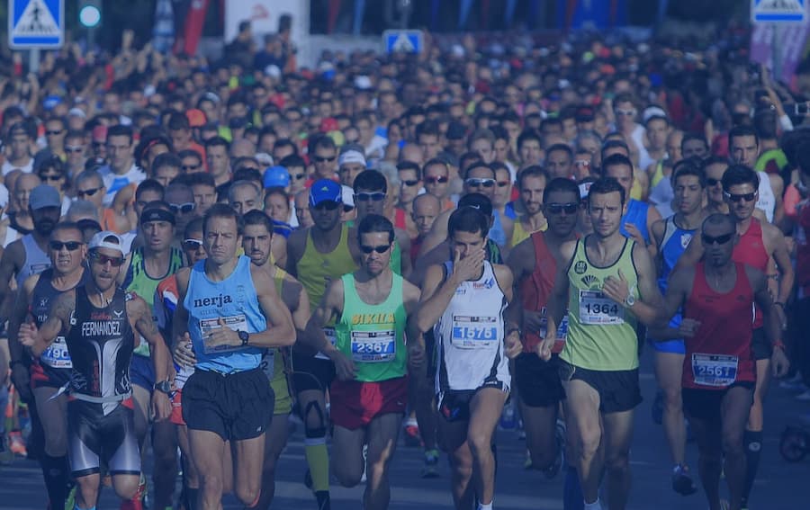
Real-time location of all sporting events (cycling competitions, road athletics events, rallies, etc.) which may affect traffic and the safety of Spanish road users.
INFORMATION: Real-time location of sporting events and the roads affected using beacons placed along their route or perimeter.
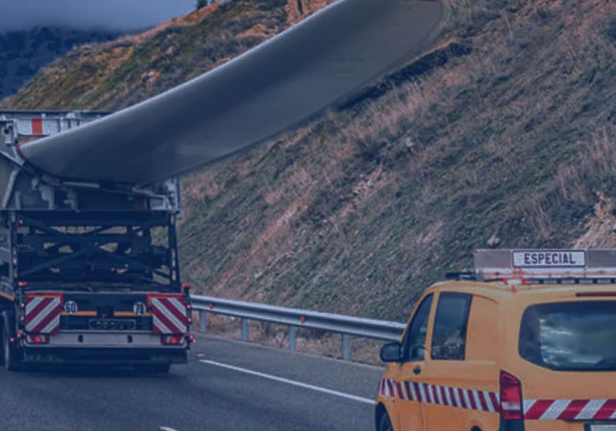
It monitors and publishes information on the dynamic real-time location of any special vehicles or means of transport which, due to their size or reduced travelling speed, may affect traffic while they are on the road.
INFORMATION: Information related to the position of the vehicle from the V2 beacon “V-2 Vehicle-Obstacle on the road sign”.
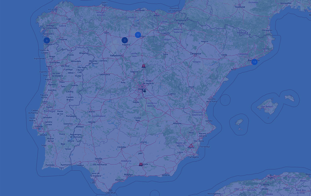
Information available in information systems of the DGT (e.g. Mobility Map) to provide information on things nearby that drivers may come across throughout their journey.
INFORMATION: Information in GeoJSON format that contains the following layers:
Restrictions
Level crossings
Hazardous Goods Routes (RIMP2021)
Cycling routes
Points of St James’ Way
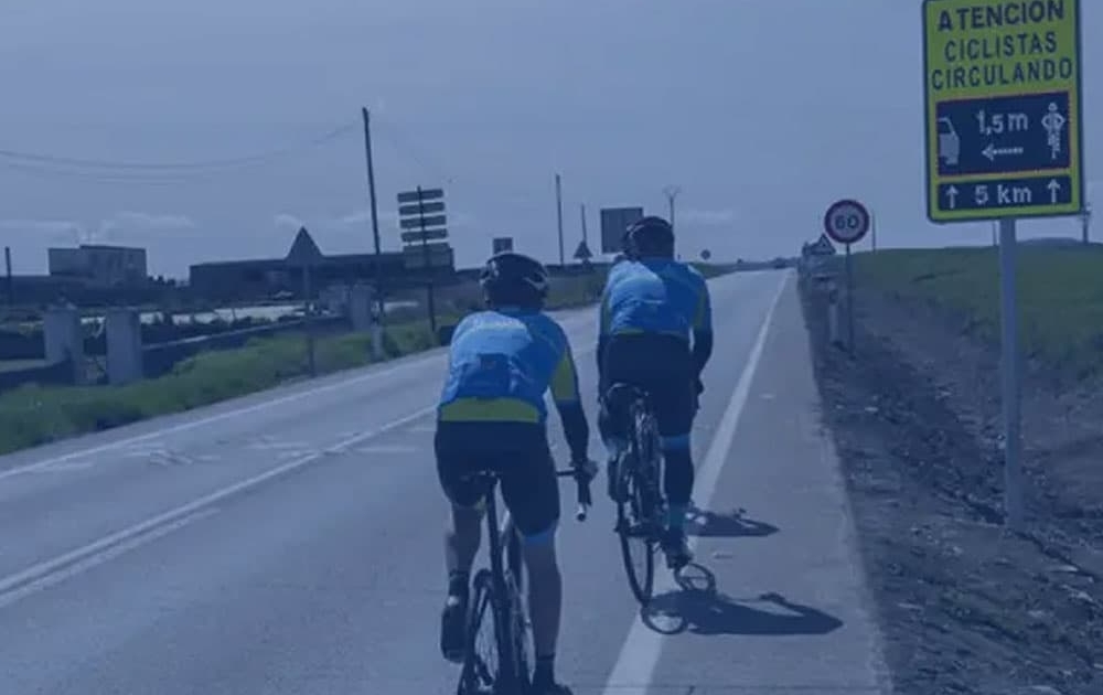
Warning vehicle drivers of the presence of cyclists to avoid them from getting run over. It collects and publishes information on the real-time location of cyclists travelling on the roads while they are training or doing sport in their free time.
The information comes from IoT devices or via apps, which may be attached to the cyclist’s equipment (e.g. safety vest, helmet, light, etc.) or to the bicycle itself (e.g. handlebars, tool holder, etc.).
INFORMATION: Real-time location of cyclists while they are on the move.